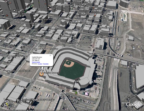
Google Earth is the natural extension of GoogleMaps in that it is one giant map, not just of the US, but of the whole world. In addition, it uses satellite images instead of graphic depictions. GoogleMaps has a satellite view as well, but GoogleEarth takes it further. You can tilt the view to see the land in 3D and in some cities include 3D renderings of buildings, which makes it possible to take a stroll down, say, Michigan Avenue in Chicago and feel like you're really walking between the buildings. And, like I said, it's the WHOLE WORLD. I assume there are "blackout areas" somewhere, but I haven't found any yet.
In addition to the incredible topography, Google includes a variety of "layers" that can be added to the maps like, street names, crime statistics, restaurants, railroads, political borders and much more.
There are hundreds of amazing touches that you really have to see to believe. Go get it http://earth.google.com/.